
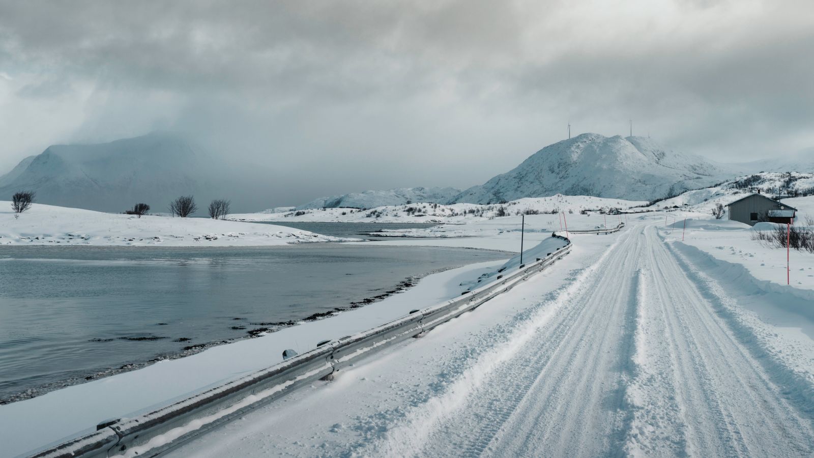
Northern overland travel is less about “seeing the Arctic” and more about stacking long days correctly. Expect gravel, ferries, and a train that does not care about your hotel checkout. Prairie stretches look short on the map, yet they can eat a whole afternoon.
This hub is the map for trips I’ve already written up on the ground: Alaska road-trip loops, the Dempster Highway out to Tuktoyaktuk, the road-and-rail run to Churchill, plus the prairie and BC pieces that often bookend those journeys. Use it to pick a season and a trip shape. Then jump into the linked guides for the day-by-day detail.
At a glance
- Best overall window: mid-June through early September for first remote gravel or Alaska loops
- Shoulder appeal: May and September: quieter and cooler, with more weather risk up north
- Signature routes covered here: Alaska road loops · Dempster → Inuvik → Tuktoyaktuk · road + VIA Rail to Churchill
- What breaks schedules: gravel speed, ferry timing, construction, wildlife on the road, train delays
- Planning rule of thumb: take the optimistic drive time, add 30–50% for gravel or sightseeing, then leave a buffer day every few hard days
- Who thrives: travelers who like distance, empty roads, and logistics more than tight city itineraries
Who this guide is for
- Drivers and train riders planning Alaska or Canada’s far north and want season + logistics before booking
- Solo or small-group travelers who care about fuel spacing, daylight, and where they’ll actually sleep
- Anyone stitching Churchill, the Dempster, Alaska loops, prairie parks, or a quieter BC coast stop into one northern story
If you want five countries in a week, skip this page. If you want the map to feel real under your tires or through a train window for a long stretch, stay.
Best time to go
Season decides the trip. Same road in July and October? Different animal entirely.
Summer (roughly June–August)
Long daylight. Ferries running. Services open. Mosquitoes with a union. Best window for a first Dempster drive and for classic Alaska loops. Popular stops get busy; leave early and the empty stretches still show up.
Shoulder (May; September)
Quieter roads, cooler air, and fall color appear on some routes. Snow can arrive early in the Yukon and Arctic. A few lodges and fuel stops are still waking up, while others are starting to close. This season suits travelers who hate crowds and can change plans without sulking.
Winter
Possible if you already know cold-weather driving, ice, and short daylight. Northern lights hunters come for a reason. I don’t recommend winter as a first remote-gravel adventure. Beautiful. Not casual.
Practical take: one well-timed summer or early-autumn trip with sleep and spare days beats a heroic winter story you don’t actually enjoy telling.
How to get around
Driving
Most of this hub assumes a sturdy vehicle you trust on gravel, or a rental company that lets you take one there. Know how to change a tire. Carry at least one good spare (two is better on the Dempster). Paper maps or offline maps matter once cell service drops. Fuel early; “I’ll make the next one” is how people collect bad stories.
Ferries
On the Dempster in summer, free government ferries cross the Peel and Mackenzie. Shoulder seasons get weird when ice is forming or breaking. Elsewhere (Alaska Marine Highway and BC island runs), ferry schedules can quietly run your day, so build buffer and do not cut it fine.
Train
Churchill has no permanent highway in. The slow way is road or flight to the railhead (often Thompson, sometimes The Pas), then VIA Rail north. Expect hours that look modest on paper and feel longer in a seat. Patience isn’t a vibe here; it’s the ticket.
Pacing
Maps lie politely. Construction, dust, a moose in the lane, or a suddenly urgent bathroom break can stretch the estimate. I’d rather arrive early and walk around a small town than roll in after dark arguing with my own itinerary.
Key routes (with guides)
Arctic Canada: Dempster, Inuvik, Churchill
Dempster Highway to the Arctic Ocean
From Dawson City it’s about 737 km of mostly gravel to Inuvik, then another 138 km to Tuktoyaktuk. Tombstone, Eagle Plains, river ferries, then the Arctic coast. People quote driving hours; your body quotes recovery hours.
- Driving the Dempster Highway to Tuktoyaktuk ; seasons, gravel reality, fuel, what to expect
- Dempster Highway blog: my journey to the Arctic Ocean ; road-level story: Tombstone, Eagle Plains, ferries, the days as they felt
- Best things to do in Inuvik, NWT ; hub town after wilderness days; catch your breath before or after Tuk
Churchill the slow way
No highway into town. Drive or fly to the railhead, then take the train across boreal forest and wetlands you won’t see from a jet.
- Road and train to Churchill, Manitoba ; railhead logistics, train reality, why the slow way is the point
Alaska road trip: loop pieces
Alaska rewards a loop with room to breathe: Anchorage out through Denali and Fairbanks, south on the Richardson to Valdez, optional gravel into Wrangell–St. Elias, then the Kenai if you still have legs.
- My Alaska road trip: the actual trip ; full loop shape and how the days stacked
- Alaska road trip packing list: 13 essentials ; distance, weather swings, small oversights that strand people
- Things to do in Fairbanks in summer ; interior base and gateway-north energy without forcing a winter trip
- Best things to do in Seward, Alaska ; Kenai Fjords gateway after highway hours
- Best things to do in Valdez ; fjords, glaciers, Richardson Highway payoff
- Anchorage to Homer on the Sterling Highway ; classic Kenai drive toward the Spit
- Anchorage to Whittier via the Whittier Tunnel ; timed tunnel day that still feels like Alaska
- A day at Kennecott Copper Mine and the Root Glacier ; McCarthy Road gravel, historic mill, ice under your boots
Prairie & big-space approaches
A lot of northern trips don’t start in Yukon. They start on long, straight days where wind and boredom are the real elevation gain.
- North Dakota ; prairie pacing and why “empty” isn’t empty
- South Dakota ; Badlands-to-Black Hills energy on the way to bigger mileage
- Theodore Roosevelt National Park wildlife ; strong stop when you’re building north or west
- The Grand Canyon of Canada ; distance + viewpoint mindset that fits northern road travel
BC coast add-ons
Pacific air can bookend harder inland miles. The towns are smaller, the ferry days distinct, and the mood feels north-facing in a different way.
- Port McNeill, BC ; north Vancouver Island practical stop
- Southeast Vancouver Island ; gentler island days when you want coast without gravel
Sample ways to stitch a trip
These are shapes, not sacred itineraries. Borrow the structure, then change it to suit your pace.
A. Alaska loop ; about 10–14 days
Anchorage → Denali / Fairbanks → Richardson to Valdez → optional McCarthy / Kennecott if the gravel budget allows → Kenai (Seward or Homer) → home. Start with the actual trip and the packing list.
B. Arctic Ocean by road ; multi-day, higher grit
Dawson → Dempster → Inuvik → Tuktoyaktuk, with Tombstone and Eagle Plains as breathers. Read Driving the Dempster first, then the journey post.
C. Churchill the slow way
Road to the railhead + train north. Road and train to Churchill before you romanticize “just taking the train.”
D. Prairie warm-up
North or South Dakota and Theodore Roosevelt to relearn road rhythm before Canada or after a long push west.
Mix freely. The point of a hub is options with judgment.
Packing & logistics
Full kit lists live in the Alaska packing guide and inside the Dempster and Churchill posts. Mindset for this hub:
- Layers you can actually peel (morning chill, gravel glare, wind off water)
- Think about a spare tire, then save some patience for delays
- Food and water beyond “there’ll be a cafe”
- Bug protection in summer; warm layers even then
- Offline maps + a paper backup
- Permission to book a real room after a hard gravel day (one comfort note: if you’re traveling at midlife, or you just run hot when a vehicle turns into a greenhouse, plan for easy on/off layers and sleep that isn’t optional)
- Tell someone your route and check-in rhythm if you’re solo
Fuel when you can. Daylight when you can. Wildlife at dusk will not wait for your playlist to end.
FAQ
How many days do I need for the Dempster?
Dawson to Tuktoyaktuk is roughly 875 km one way. Pure driving can look like 14–16 hours. Most people take at least three to four days each way so the scenery isn’t a blur and gravel fatigue doesn’t own the trip. Details: Dempster driving guide.
Is an Alaska road trip doable in two weeks?
Yes, if you pick a loop and stop adding “just one more” stops every afternoon. Ten to fourteen days covers Anchorage–Denali–Fairbanks–Valdez–Kenai with breathing room. Start here: My Alaska road trip.
Can you drive all the way to Churchill?
No permanent road into Churchill. You drive or fly to a railhead (commonly Thompson), then take the train. See Road and train to Churchill.
Do I need 4WD?
Helpful on rough gravel, not a magic shield. Tire condition, speed, and a second spare matter as much as drivetrain. Check rental contract fine print before you point a compact sedan at the Dempster.
What about cell service?
Patchy to nonexistent between towns on remote stretches. Download offline maps. Consider a satellite communicator if you’re camping or traveling alone far from services.
Solo traveler: is this reckless?
Not if you plan for the tired version of yourself at 9 p.m., not only the brave version at breakfast. Fuel early, daylight when possible, trust a bad gut feeling about lodging, and tell someone your check-in rhythm.
Related guide hubs
Use these companion hubs to connect northern roads, rail journeys, and practical trip planning.
- Ethiopia and Horn of Africa travel guide
- Western US parks and road trips guide
- Flashpacker travel logistics guide
Next step
Pick a season and a trip shape. Open the matching spoke, whether it is Dempster, Alaska, or Churchill, and build from there. I’ll keep adding routes as I cover more ground; for now, these are the roads and rails already written up from the driver’s seat and the train window.
Planning the season for an Alaska loop? Use my best time to drive an Alaska road trip guide to match the route to daylight, road access, and summer crowds.
